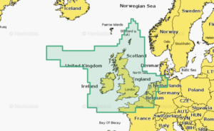
Navionics chart Regular – Great Britain, Northeast Coast
Coastal coverage of the northeast coast of Great Britain from the mouth of the Thames to the Isle of Lewis including the Orkney Islands, the Shetland Islands and North Sea offshore charts. Coverage includes areas such as the Caledonian Canal, Loch Linnhe, Loch Ness, Edinburgh and London.